


Mapping Drawings and Paintings
Above: detail of Mountain Range
Mixed media on vellum 33 x 34’’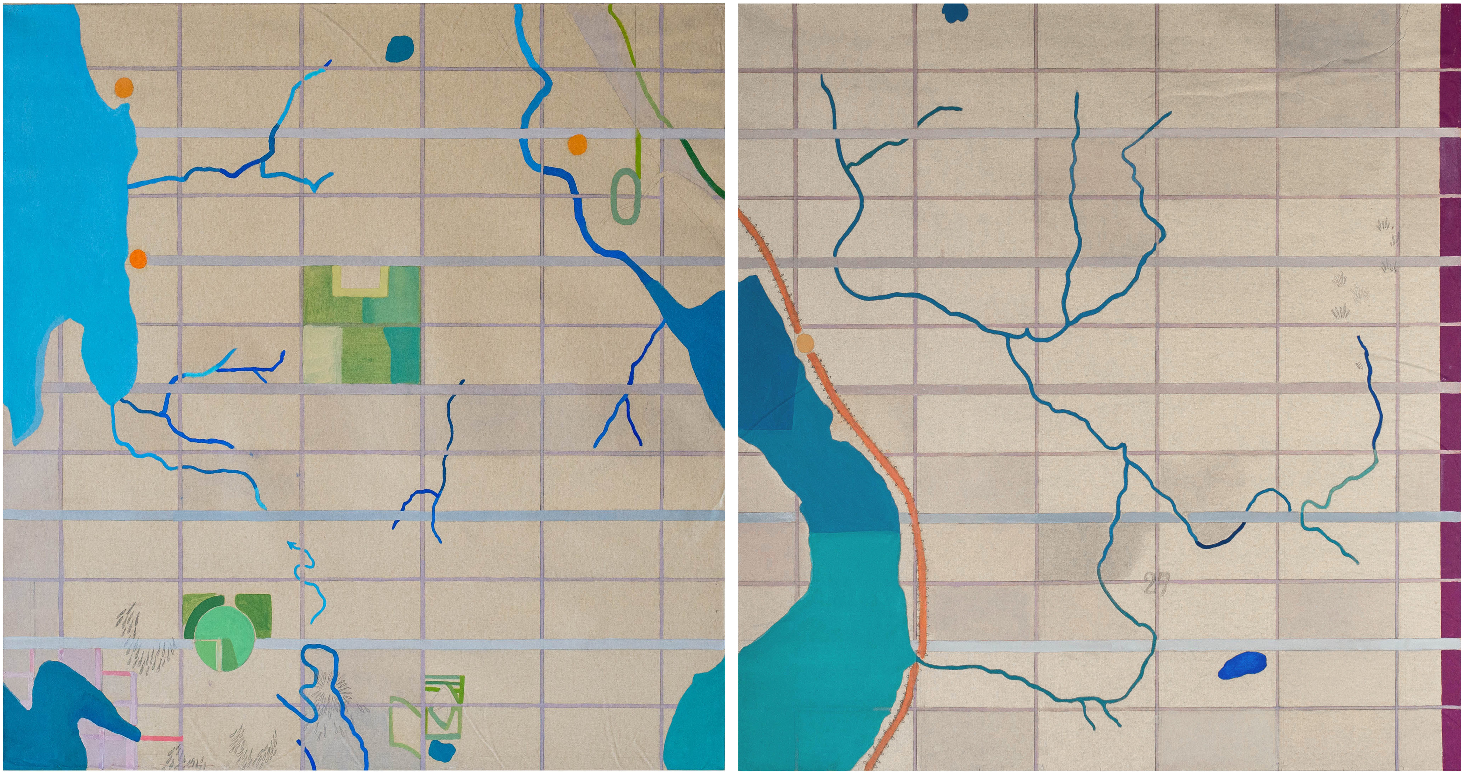
Homestead:T25N, R5E, S12, T25N, R6E
Oil on canvas / each 36 x 36’’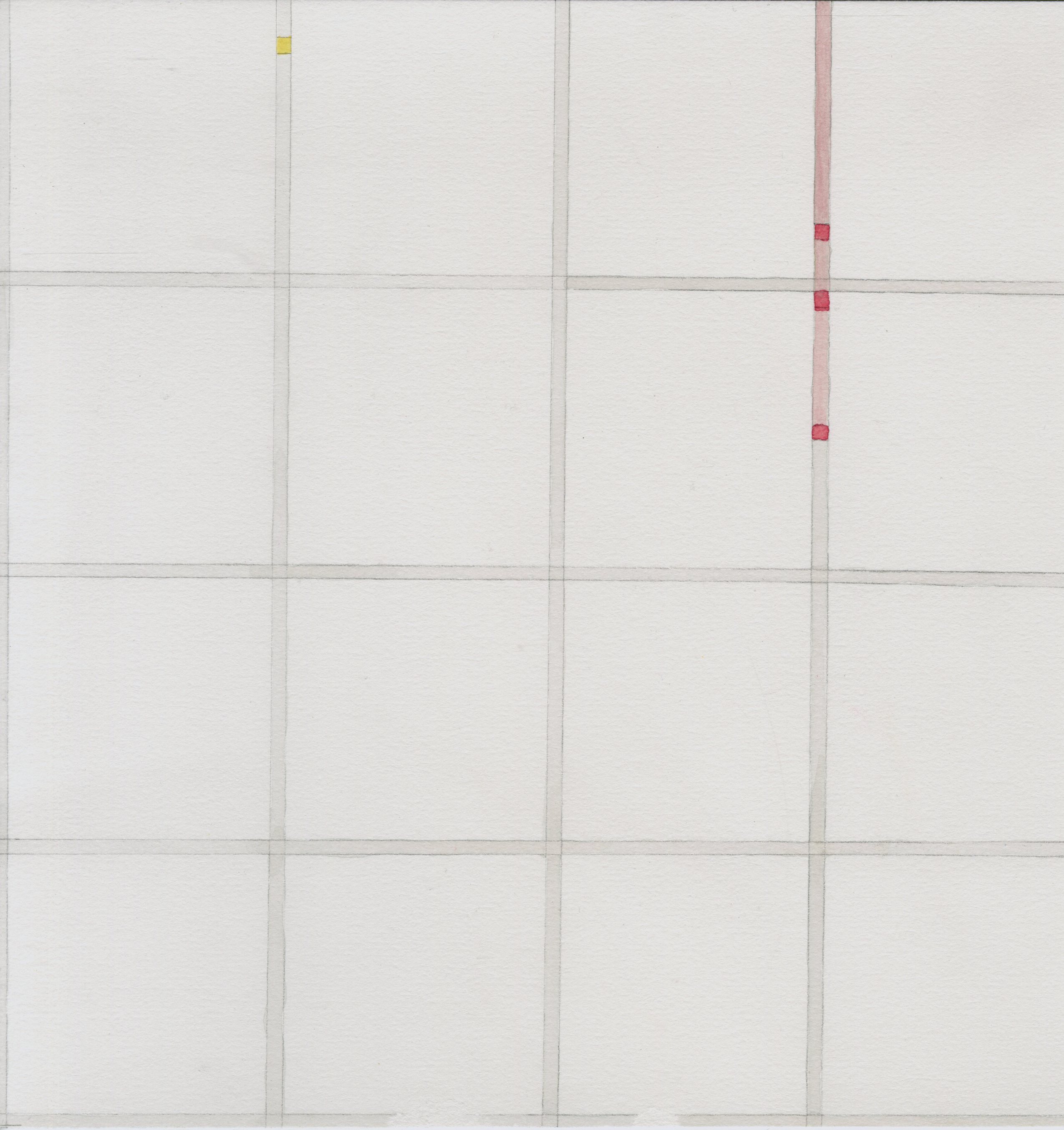
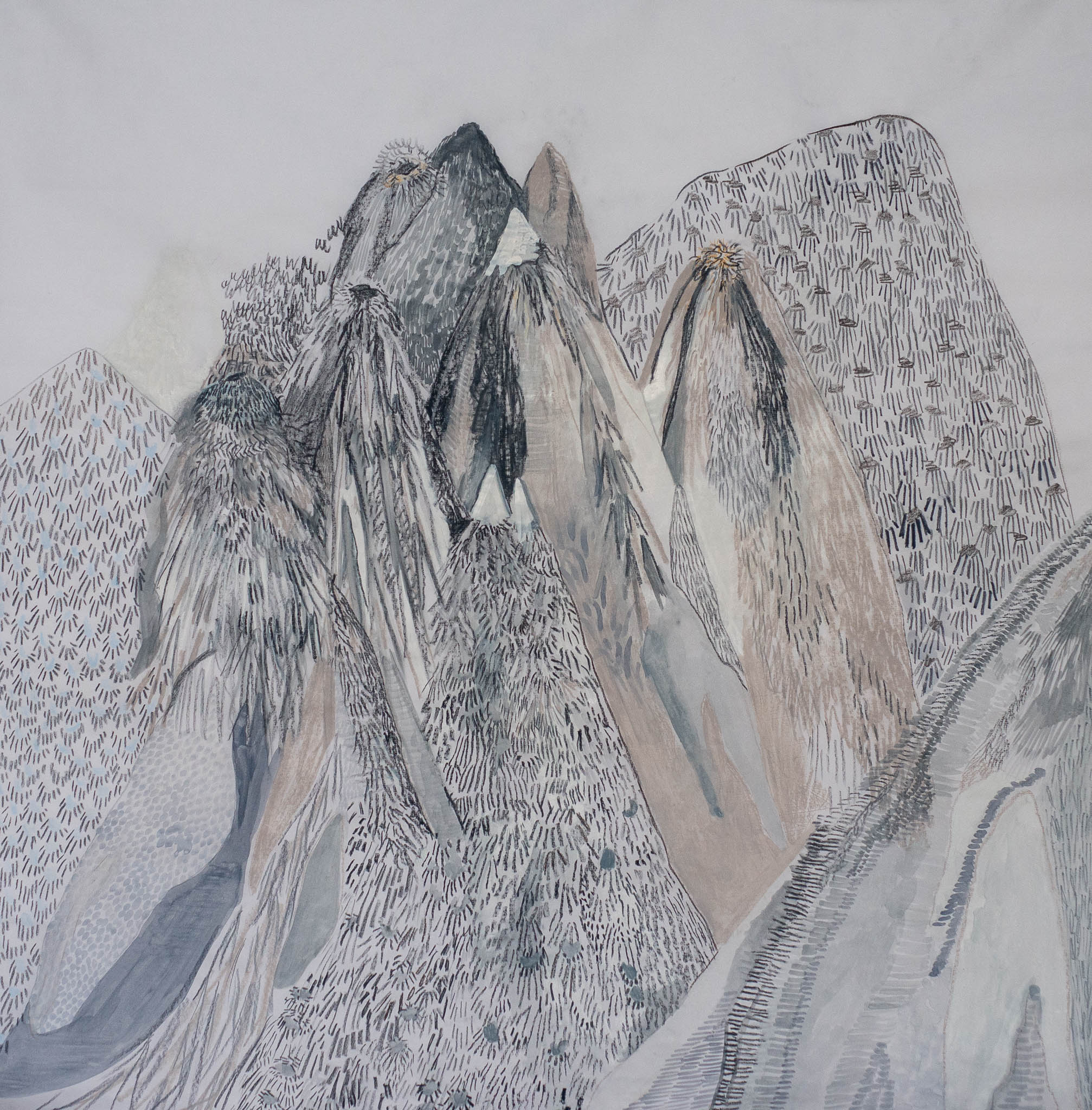
Mountain Range
Mixed
media on vellum 33 x 34’’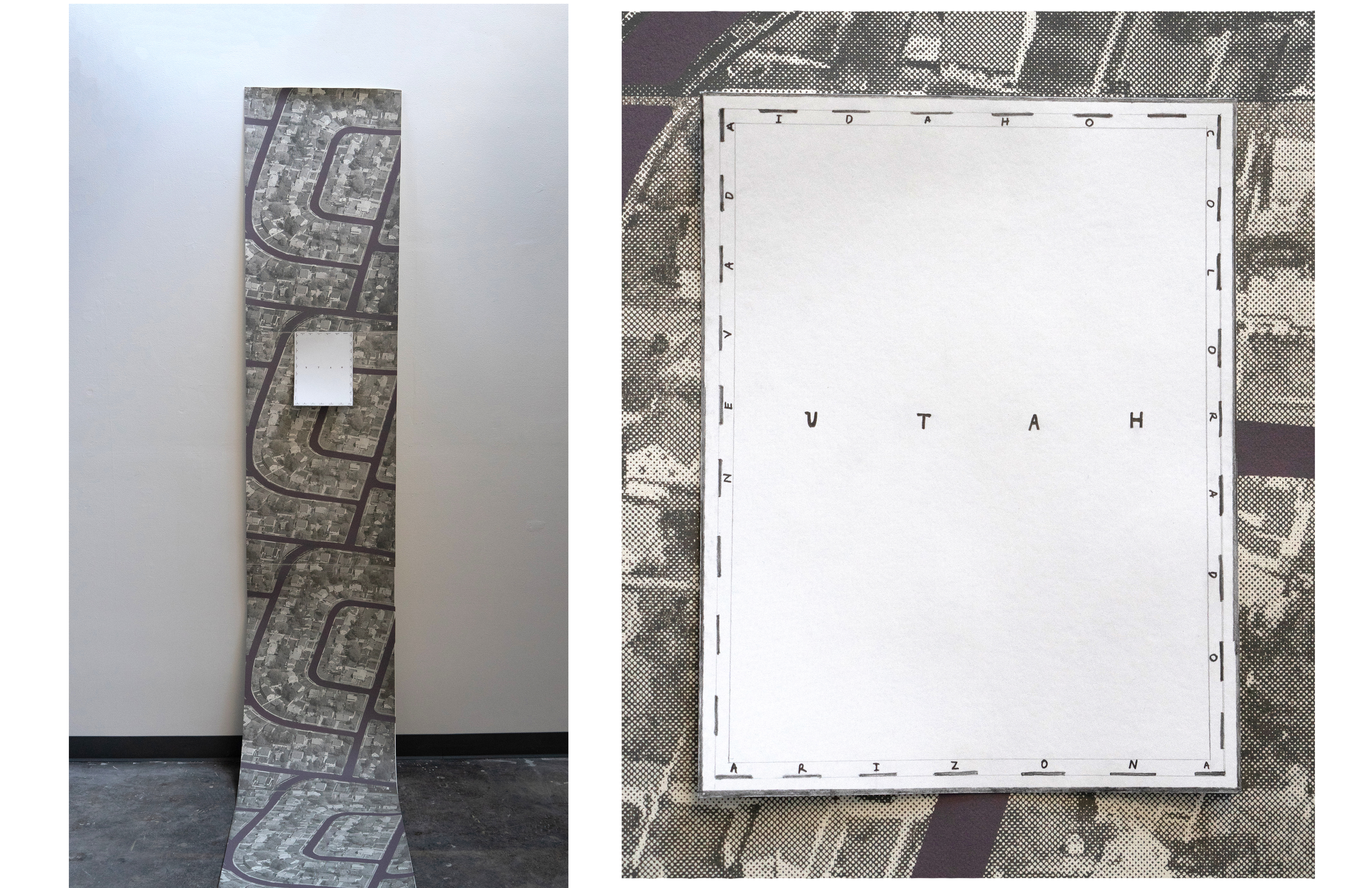
Sprawl
2019 / Pencil on paper attached to screen printed wallpaper of Levittown, PAThoughts on mapping:
Oscar Wilde famously said, “A map of
the world that does not include Utopia is not worth even glancing at” (The Soul
of Man Under Socialism, 1891). The hyperbole prompts important questions to
both the map’s maker and the map’s reader and begs the questions, Whose map?
Whose Utopia? I asked this of Levittown, PA, a post-WWII proposition for a utopic
neighborhood every young, white, middle class American couple could begin a
family in. In the quest to create “Mine”, the modular unit of suburbia forged
an isolated and uniform community that propagated white supremacy, the
exploitation of privatized labor, and material waste. Unlike the city block,
where the function of a space changes with a new building, the functional
sprawl of the cul-de-sac is structural.
Zooming out to what is structural to the United States landscape, the Jeffersonian grid established in the Land Ordinance of 1785, divided the western territory into 6x6 square mile townships. After becoming infatuated with the absurdity and poetics of mapping, I painted the land I am most familiar with in relationship to these established borders. The art of mapping territory has always had a relationship to the arena of painting. It is the imagined possibility of territorial claim for the known unknown of the gridded maps from the “age of exploration” that there is lyrical space in the art of rendering identified land and utopia. Perhaps American homesteads on the western frontier sprawl similar to Pollock’s paint flung against the canvas, both bold in their physical proclamation of “Mine”. In trying to fill the grid, and conquer the canvas, I forgot that it was the grid that had fascinated me all along. As we consider our place in the world, often in context with the land we claim, and the mass we build, I am interested in using my gaze and paint brush to temporarily hold space.
Zooming out to what is structural to the United States landscape, the Jeffersonian grid established in the Land Ordinance of 1785, divided the western territory into 6x6 square mile townships. After becoming infatuated with the absurdity and poetics of mapping, I painted the land I am most familiar with in relationship to these established borders. The art of mapping territory has always had a relationship to the arena of painting. It is the imagined possibility of territorial claim for the known unknown of the gridded maps from the “age of exploration” that there is lyrical space in the art of rendering identified land and utopia. Perhaps American homesteads on the western frontier sprawl similar to Pollock’s paint flung against the canvas, both bold in their physical proclamation of “Mine”. In trying to fill the grid, and conquer the canvas, I forgot that it was the grid that had fascinated me all along. As we consider our place in the world, often in context with the land we claim, and the mass we build, I am interested in using my gaze and paint brush to temporarily hold space.
While the territory is loaded, the grid itself, is ultimately a tool without hierarchical weight or preference. It’s always been about the grid; the mesh that underlies every map, timetable, and digital image. Relativity and new relationships emerge, due in part to the segmented vantage point of the grid, but we are also more aware of how much we miss. This work exists as a poetic proposition in relationship to the archive asserting the precarity of the hand and leveraging the aesthetics of authority. Navigating reflects perceptions of our world, and how we fit into it. We must orient to act; tracing back to the Latin root, we must look east to orient.